Search

Green Navigation

About

Javier Jiménez, Duarte Barbosa, Paz González, Simão Varandas, Paolo Martino, Louis Bu

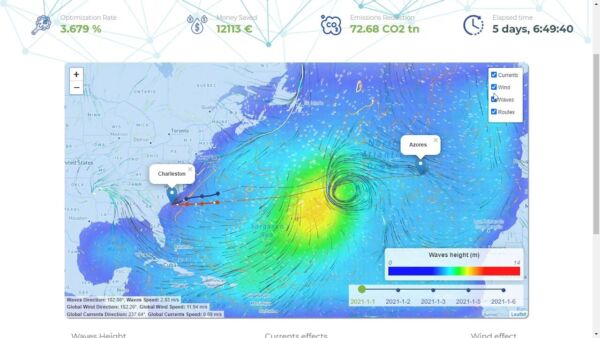
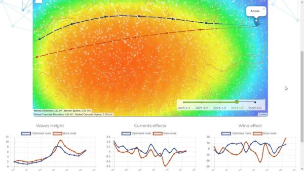
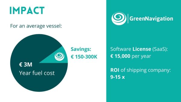
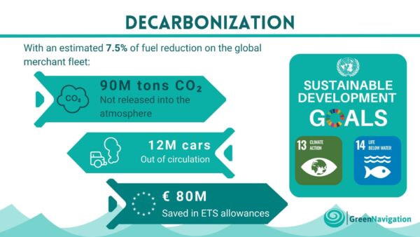
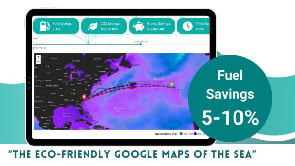
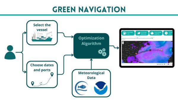
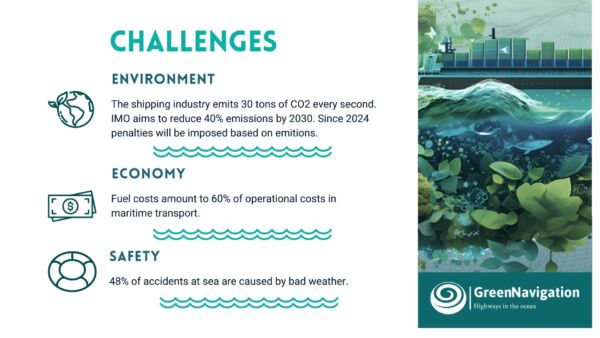
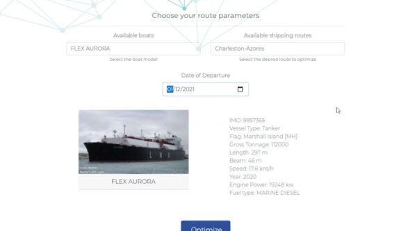
Green Navigation is the "Google Maps of the Ocean," offering AI-driven optimal routing for maritime vessels by analysing real-time weather and ocean conditions. This technology helps vessels reduce fuel consumption by 5-10%, cutting greenhouse gas emissions while enhancing safety at sea. Using data from CMEMS, NOAA, and vessel-specific models, Green Navigation provides a cost-effective, easily deployable solution that supports immediate decarbonization in the shipping industry, aligning economic, environmental, and safety objectives
Student

  • Daniel Precioso
    IE University

    I am a data scientist with five years of R&D experience, specializing in data analysis, machine learning, and optimization to advance Sustainable Development Goals (SDGs) in industry. My passion for Green Navigation led me to present our project at the European Parliament as a leading solution for Europe's ecological transition. I also teach Computer Programming in the Bachelor of Applied Mathematics at IE Science School. I am always eager to connect with others who share my vision for sustainability through data science.more


Similiar Projects

3D-Printed CSP Receiver

3D-Printed CSP Receiver

Temperature control

3D-printed solar receiver for industrial heat

ATOM H2

ATOM H2

Energy consumption

ELISAVA

Efficient, solid-state hydrogen storage for clean energy

BioPower Cells

BioPower Cells

Energy alternatives

Northumbria University

Biodegradable batteries from organic waste
E2Pilot

E2Pilot

Algae-based bio-fuels

Fuel-efficient routing for heavy-duty trucks